HRPT Software

HRPT, High Resolution Picture Transmission, the ultimate ! 5 bands, 1.1km resolution and 10 bit data, nothing even comes close !


The many features of the software and HRPT system are listed below :-

  • Windows 95, 98, NT, 2000 and XP multi-tasking, not a DOS application running in Windows
  • Pentium II 450MHz 32 bit software support
  • Automatic scheduling eliminates the need to predict start times
  • Automatic channel switching allows continuous unattended reception of NOAA 12 14 15 & 18
  • Real time reception and real time contrast stretch and channel selection
  • 6 channel HRPT receiver for "unexpected" satellites
  • All 5 band 10 bit data saved 1.1Km resolution
  • User selectable and predefined contrast curves
  • 30 bit real time MultiSpectral colour reception and manipulation
  • Pre-set MultiSpectral band allocations for faster colour
  • NOAA 15 band 3a multi-spectral images give greater land detail
  • 256 or 1024 grey scale image manipulation and display
  • Any Windows display resolution supported
  • Colour or greyscale printers on any Windows compatible printer
  • Multiple image channels viewable simultaneously
  • Import and Export of industry standard image files
  • SeaWiFS compatible
  • AutoTracking in real time and minimum elevation set available
  • Both motors driven simultaneously in AutoTrack
  • 12 bit AutoTrack resolution
  • Nudge operation allows precise dish alignment indoors
  • Element updates available by automatic Internet connection
  • Yaesu, Emotator and "other" Az-El unit compatible
  • Software update service via Internet or post
  • Hardware update service
  • Modular design for flexible operation
  • Only one card to fit in PC
  • Real moving coil S meter independent from computer software

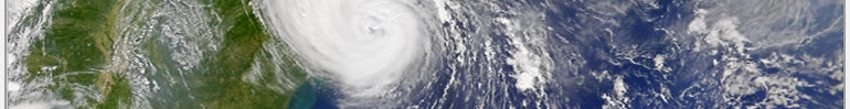
HRPT Image Data channels formats


Data Channels
1
0.58 – 0.68 µm General purpose visible for cloud and surface mapping. Biased towards green/yellow and gives very good land detail in the summer
2
0.725 – 1.10 µm Surface water delineation. Biased from red to near infrared. A good general purpose visible sensor that gives surprisingly good land detail even in winter.
3a
1.57 - 1.64 µm Cloud / ice discrimination. Can also show good land detail. (Noaa 15 only)
3b
3.55 – 3.93 µm Sea surface temperature and night time cloud mapping. Can give extremely accurate temperature readout over a relatively narrow range (-15 to +30°C). Shows land detail from thermal data (Noaa 15 only)
4
10.5 – 11.5 µm Sea surface mapping and day/night cloud mapping. A good general purpose infrared channel for every day use. Rivers are visible in winter due to their temperature differential.
5
11.5 – 12.5 µm Sea surface mapping, otherwise somewhat similar to Band 4.


all contents © timestep electronics ltd 2006 | designed by james northam | domain names for sale